
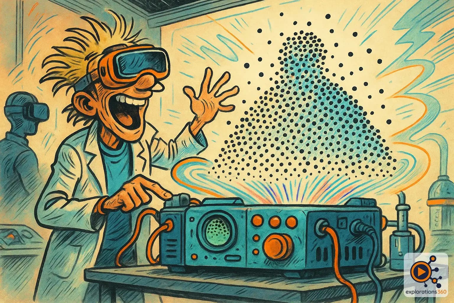
Explanation
A point cloud is a collection of data points in 3D space, each with X/Y/Z coordinates and often color information, representing the surface geometry of a real-world object or environment. Point clouds are generated by LiDAR scanners, photogrammetry, or depth cameras and serve as the raw material for creating 3D meshes, digital twins, and VR-ready environments.
Real-world example
The millions of colored points that form the 3D "map" of your room.
Practical applications
- 3D scanning: capturing the geometry of real objects or environments
- Spatial mapping: the headset understands the shape of your room
- Heritage preservation: digitizing monuments for long-term conservation
- Industry: quality control by comparing parts against the CAD model
Point cloud sources
LiDAR
- Laser scanner that measures distances
- Very high precision (millimeter-level)
- Built into iPhone Pro, iPad Pro
- Used in architecture and geology
Example: Scanning a room with an iPhone to get a 3D floor plan
Photogrammetry
- Generated from multiple photographs
- Also captures colors (textures)
- More accessible but less precise
- Ideal for objects and environments
Example: Creating a 3D model of a statue from 100 photographs
Depth sensors
- Time-of-flight (ToF) cameras
- Structured light pattern projection
- Real-time but limited range
- Used in VR headsets for tracking
Example: The VR headset that "sees" furniture to define the play area boundary
VR scenario
To create a virtual tour of a historic castle, a team performs a LiDAR scan that generates a point cloud of 500 million points. The cloud is then converted into a 3D mesh, textured with photographs, and optimized for real-time rendering. The VR visitor can explore every corner of the castle with millimeter-level fidelity to the real building.
Why it matters in professional VR
- Real-to-virtual bridge: the point cloud is the raw material of the digital twin
- Precision: an objective capture of reality without artistic interpretation
- Foundation of mapping: indispensable for AR and mixed reality
- Archiving: digitally preserving endangered sites